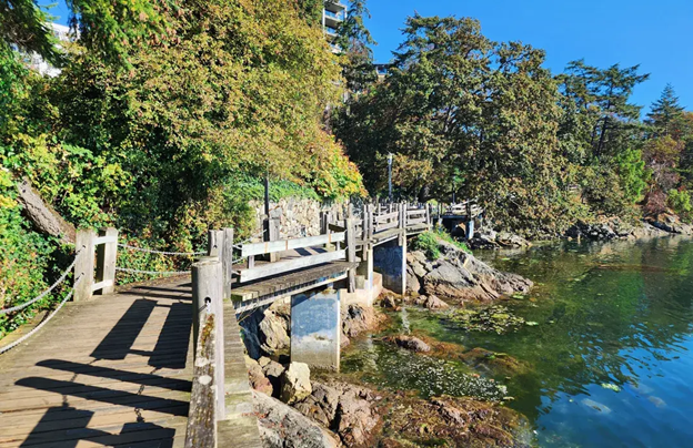
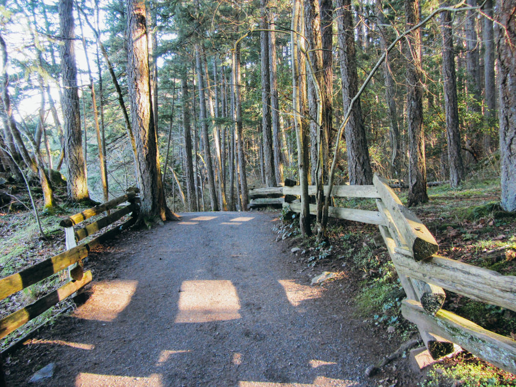
• Francis King Park Walk

    Meeting Point: Francis King Regional Park main parking lot Meeting Point Map: https://maps.app.goo.gl/M9BEgYEGnAvcVaB3A Route Map: https://onthegomap.com/s/l4329945 This route in Francis King Regional Park takes us through three different trails: the […]

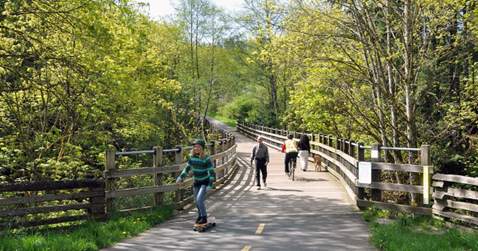
  • John Dean Park Walk

    Meeting Point: Cresswell Road and Texada Terrace Meeting Point Map: https://maps.app.goo.gl/tQcV4xUZboXNMKtBA Route Map: https://onthegomap.com/s/s5iltkpu This is a moderately challenging but beautiful hike along forested trails in John Dean Provincial Park […]

  • Cowichan River Circle Trail

    Meeting Point: Glenora Trails Head Park Meeting Point Map: https://maps.app.goo.gl/A69A3MpvZJYSEcB56 Route Map: https://onthegomap.com/s/opluqc6l This moderate 8.38 km loop hike follows a section along the scenic Cowichan River before returning on […]

  • An Ode to Ice Cream Walk

    Meeting Point: Beacon Hill main parking, 404 Circle Dr. Meeting Point Map: https://maps.app.goo.gl/A8DtAQRwk9P3esSm7 Route Map: https://onthegomap.com/s/g1n5is8j Summer and ice cream go in hand in hand. In this walk, not only […]

  • Atkins Road Thetis Lake

    Meeting Point: Atkins Road Parking Lot Meeting Point Map: https://maps.app.goo.gl/3qBdDjHvTSVe718z6 Route Map: https://onthegomap.com/s/voefb028 This route starts at the Atkins Road Parking Lot, which has plenty of parking and bathrooms. The walk will take […]