
Ten Mile Point
Meeting Point: Cadboro Bay Park
Meeting Point Map: https://maps.app.goo.gl/
Route Map: https://onthegomap.com/s/
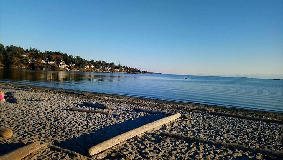
The route follows Sinclair Rd and then Hobbs St to the upper trail in Mystic Vale. The trail rises into the University of Victoria grounds and can be muddy after rain. After crossing Sinclair Rd onto Haro Rd there is one steep paved section with no hand rails. Then following Haro Rd, the route passes through Haro Woods, a former quarry, toward Queen Alexandra Beach. We continue on through Queenswood and around Ten Mile Point. Along the way there are several beach/coast access points. The route finishes with a tide-dependent amble along Gyro Beach. There are no easy access facilities along the route.
Coffee and snack are available at Mocha House or beer and snack at Smugglers Cove Pub both off Penrhyn Rd on the other side of Gyro Beach park.
Walk Statistics:
Total Distance: 11 km
Estimated Finish Time: 2.5 hours (with coffee)
Elevation Change: 285 m
Difficulty: Easy to Medium
Surface: Pavement and Trails