

- This event has passed.
John Dean Park Walk
Meeting Point: Cresswell Road and Texada Terrace
Meeting Point Map: https://maps.app.goo.gl/
Route Map: https://tinyurl.com/dbyzdauw
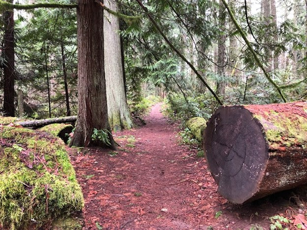
In this walk, we’ll explore forested trails through ȽÁU,WELṈEW̱ / John Dean Park. There is parking on both sides of Cresswell Road. Our route takes us past several impressive old-growth Douglas firs, a quiet lily pond, to the peak of Mount Newton and the possibility of a short descent to Pickles Bluff.
The trails range from easy to intermediate with some hills and stairs. Please watch your footing and bring poles if you like using them. There are no toilet facilities on the trails themselves, but we’ll make a short detour to the parking lot outhouse after three kilometres.
After the hike, we’ll head to The Roost (at East Saanich Road and McTavish) for coffee or a bite.
Pets are not permitted on our walks for the comfort and safety of all walkers, thank you!
Walk Statistics:
Total Distance: 9 km
Estimated Finish Time: 3.5 hours
Elevation Change: 385 m
Difficulty: Moderate
Surface: Hiking trails