
- This event has passed.
Esquimalt Urban Walk
Meeting Point: Esquimalt Curling Club Back of Archie Browning Arena
Meeting Point Map: https://maps.app.goo.gl/
Route Map:https://onthegomap.com/s/
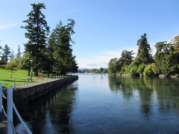
This urban walk begins near the town centre and gradually makes its way up to Highrock Park, the highest point in Esquimalt. From there, we’ll head down through Memorial Park and continue toward CFB Esquimalt. The route then leads us through Saxe Point Park and along the shoreline to Fleming Beach and Macaulay Point Park, where you’ll see historic military structures and lookouts dating back to the 1800s. We’ll finish by walking over to West Bay. Our final destination will be Serious Coffee in the Esquimalt Plaza.
Walk Statistics:
Total Distance: 10 km
Estimated Finish Time: 3.5 hours (with coffee)
Elevation Change: 203 m
Difficulty: Easy
Surface: Pavement and Trails